DIG INTO THE RESEARCH
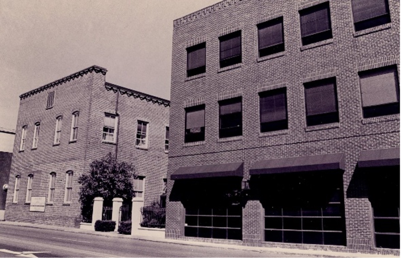
One of the many ways Historic Charleston Foundation seeks to protect Charleston's architectural, historical and cultural integrity is through scholarly research and documentation.
The Margaretta Childs Archives consists primarily of property records for hundreds of historic buildings, homes and plantations in Charleston and the Lowcountry, including historical and architectural information, deed/title research, news clippings, archaeological reports, photographs, architectural drawings, plats and maps.
The Research Library contains books, pamphlets, technical reports and videos pertaining to architecture, historic preservation, Charleston and South Carolina history, archaeology, building arts, decorative arts and gardens.
Access to the materials in Historic Charleston Foundation Archives and Library is provided under conditions that ensure their preservation, maintain their physical integrity, prevent their loss, and comply with requirements that respect confidentiality, privacy, copyright, and any other specific legal conditions.