Using GIS as a Preservation Tool

.jpeg)
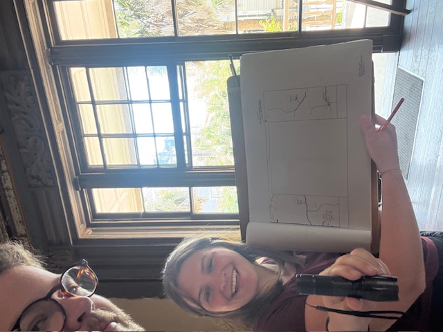
Hi, I’m Annave Allred. 👋 I am currently an Arts Management major at the College of Charleston, and this year I'm excited to be an intern with the preservation team at Historic Charleston Foundation.
One of the most exciting parts of my internship so far has been learning GIS (Geographic Information Systems), a tool that helps visualize neighborhoods by layering data like zoning, building age, and development trends on a map. Working with Preservation Planner, Kate Dutilly, I have been able to have hands-on experience using the program, and I've used these new skills to update HCF’s online Development Map. A public resource, the Development Map tracks proposed and approved buildings, typically over six stories in height, on Charleston's peninsula and displays them visually.
When the Courier Square Phase III project went before BAR-Large for conceptual review, I saw how GIS helped the team learn more about surrounding buildings not yet built when making recommendations. It can be easy to forget about an approved project if it is merely a proposal or plan, and construction has not started yet. Tools like the Development Map, created using GIS, are a really useful tool when organizations like HCF work to inform the public, and ask them to get involved. I’m excited to continue this work in the fall and keep building real-world skills in the field.
— Annave Allred, Arts Management major with College of Charleston, 2025 Preservation Intern
.jpeg)