Historic Charleston, SC Interactive Fire, Zoning, District Maps
Menu

Subscribe to our Newsletter

* indicates required
Gender
Please subscribe me to the monthly newsletter.
Please email updates about the following events:
Please email alerts on the following subjects:

Interactive Maps

Explore Charleston Through Time

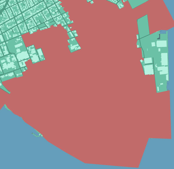
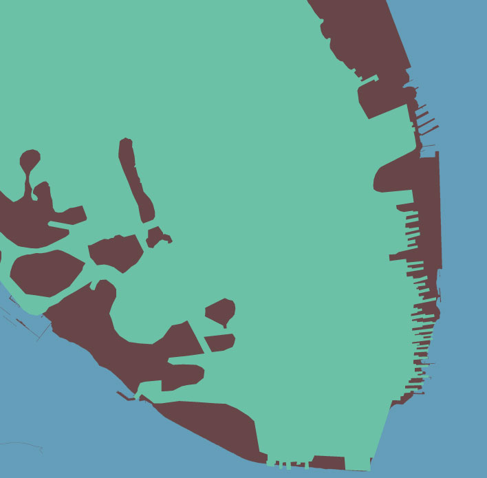
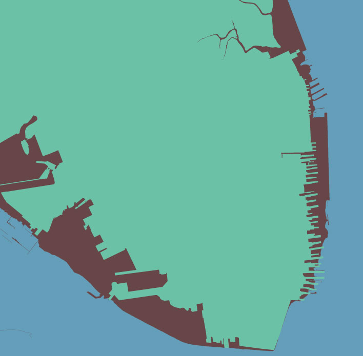
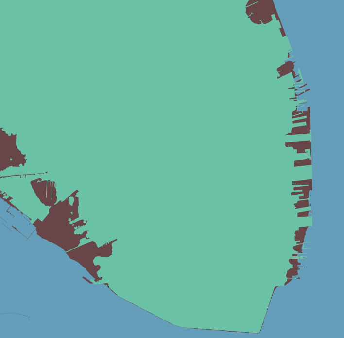
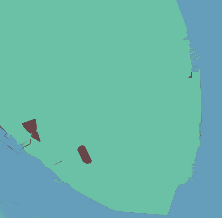
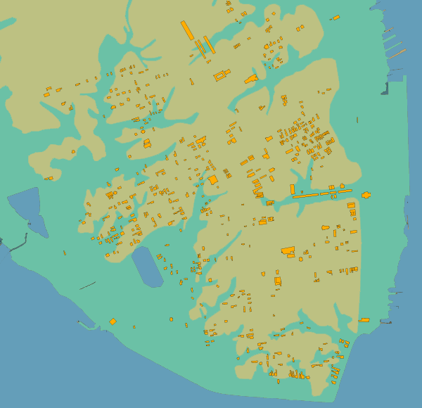
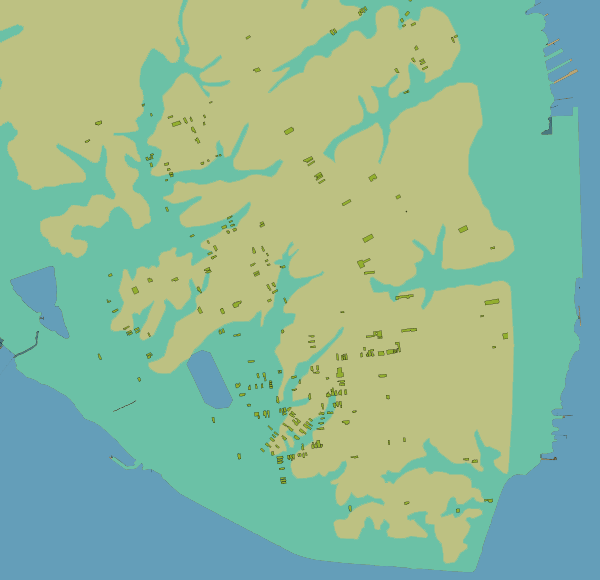
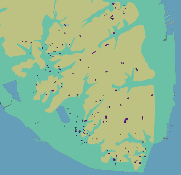
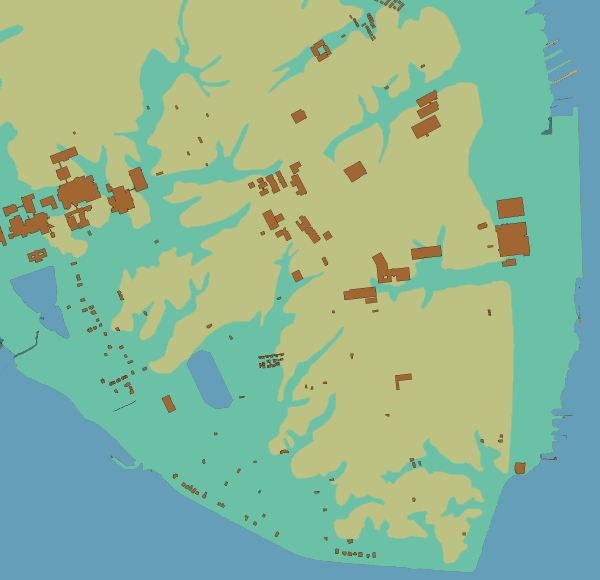
Using GIS (Geographic Information Systems) technology, these maps provide a good indication of the broad development of the city. The information here should not be regarded as perfect. The historic maps don’t fit exactly as there are disagreements on the construction dates of buildings and the true extent of damage caused by fires that ravaged the city.

Charleston From 1670 To Present

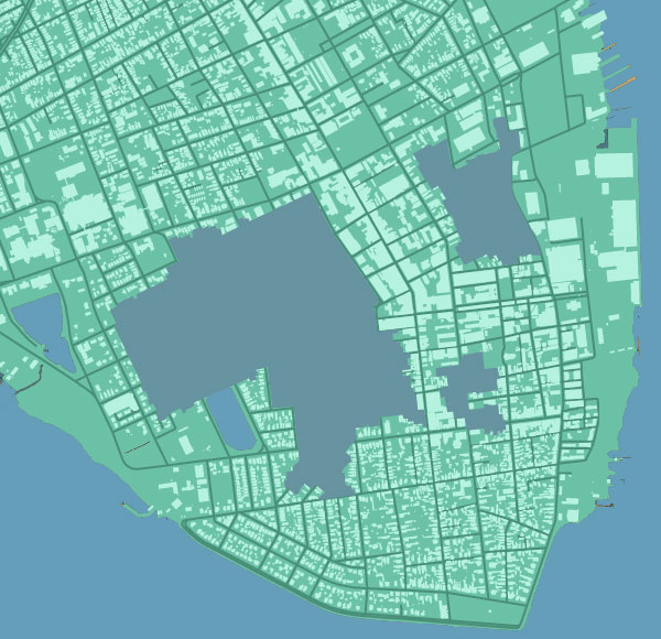
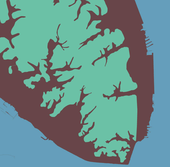
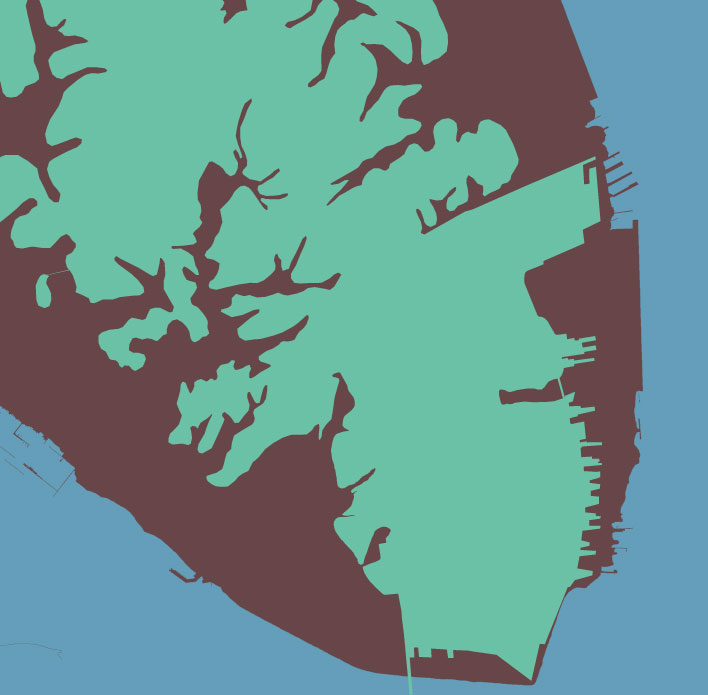
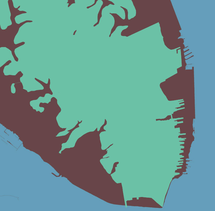
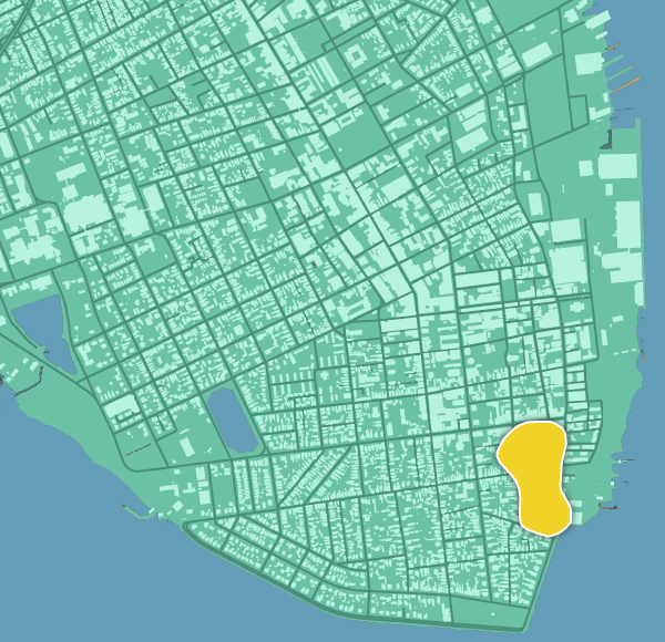
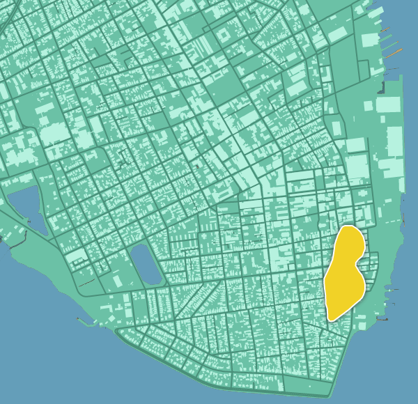
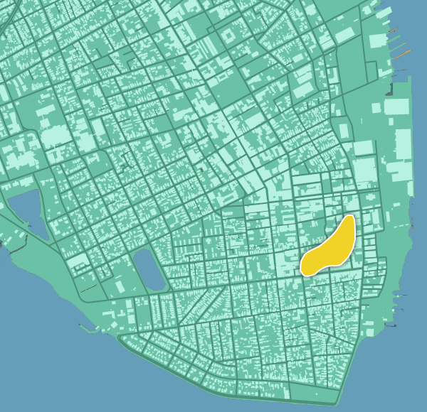
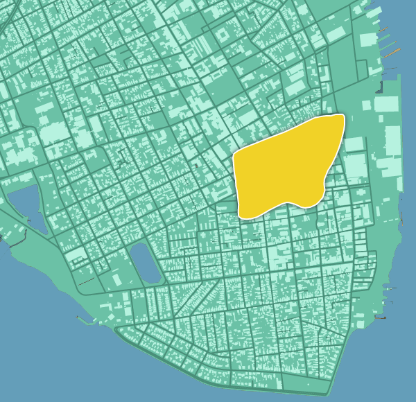
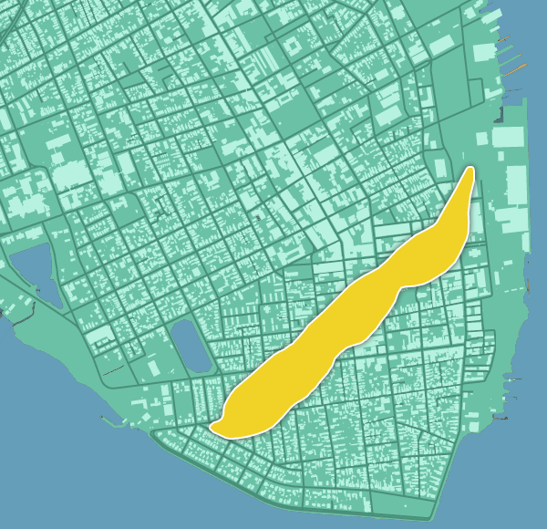
See how the shape of the peninsula changed over time.

  • 1670
  • 1788
  • 1802
  • 1842
  • 1852
  • 1939
  • 1949
  • Today
LEGEND
  • Charleston Then
  • Charleston Now

Historic Charleston Fires

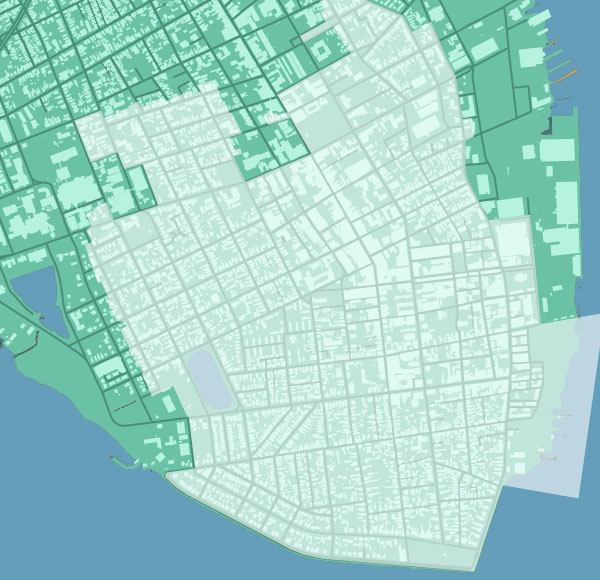
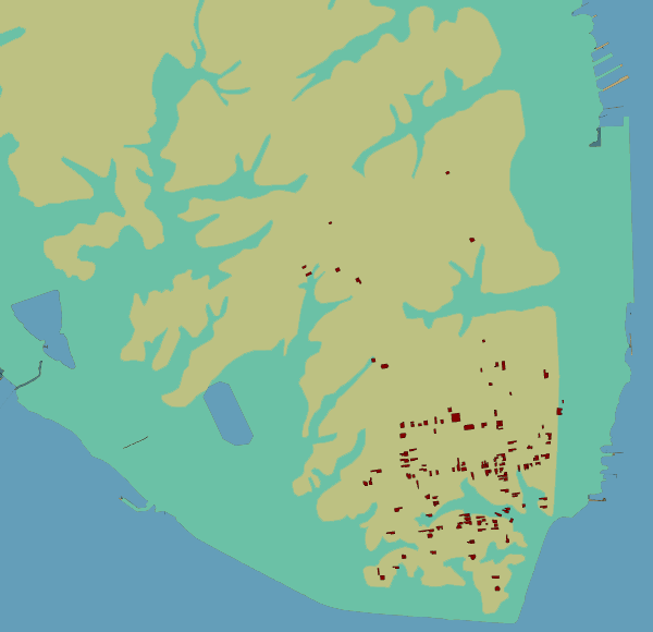
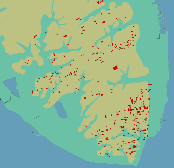
Explore the paths of Charleston's great fires in 1740, 1778, 1796, 1838 and 1861.

  • 1740
  • 1778
  • 1796
  • 1838
  • 1861

Charleston’s Buildings

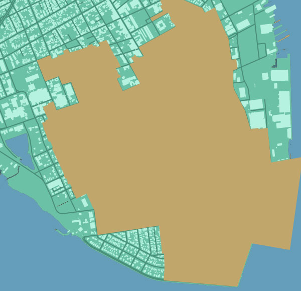
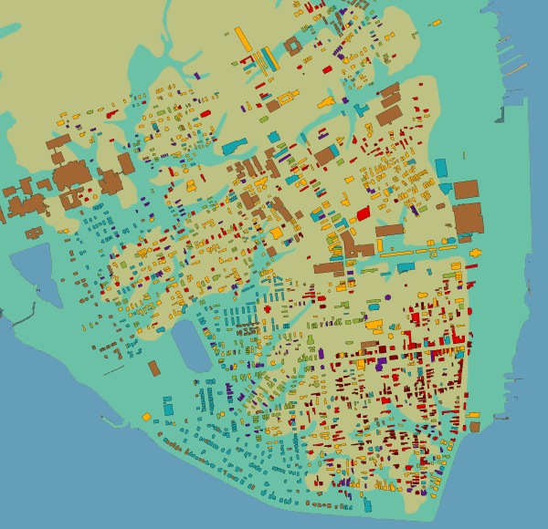
View the development of Charleston from the Colonial Era to modern day.

  • All
  • Colonial (1690-1782)
  • Federal (1783-1820)
  • Antebellum (1821-1865)
  • Postbellum (1866-1886)
  • Victorian (1887-1900)
  • Renaissance (1901-1945)
  • Modern (1946+)
LEGEND
  • Charleston Peninsula
  • Original Highwater

Old & Historic Charleston Districts

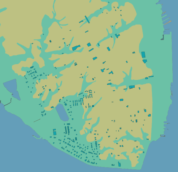
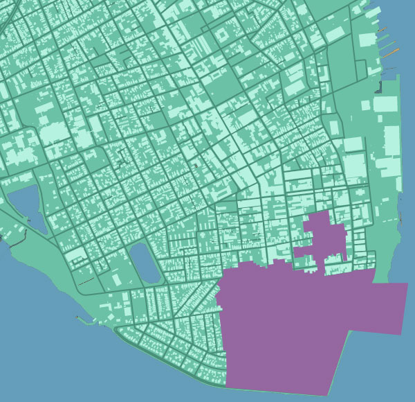
See the areas of Charleston designated historically significant by both the federal government and Historic Charleston Foundation.

  • 1931
  • 1966
  • 1975
  • National Register
  • Today