Longitude Land, Charleston, S.C. | Photography Collection | Historic Charleston Foundation
Menu

Subscribe to our Newsletter

* indicates required
Gender
Please subscribe me to the monthly newsletter.
Please email updates about the following events:
Please email alerts on the following subjects:
« Back to Results

Photography Collection

Longitude Land, Charleston, S.C.

Description

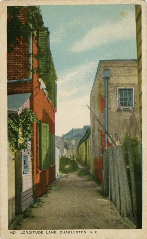
Postcard featuring the view looking east on Longitude Lane from Church Street to East Bay Street. 78 East Bay barely visible in the background.

Item Details

Object ID: 2017.024.39
Creator:
Date: ca. 1920s
Subjects:
Alleys--South Carolina--Charleston
Streets--South Carolina--Charleston