© Historic Charleston Foundation

Twenty-five color photographs of Johns Island sites and buildings.
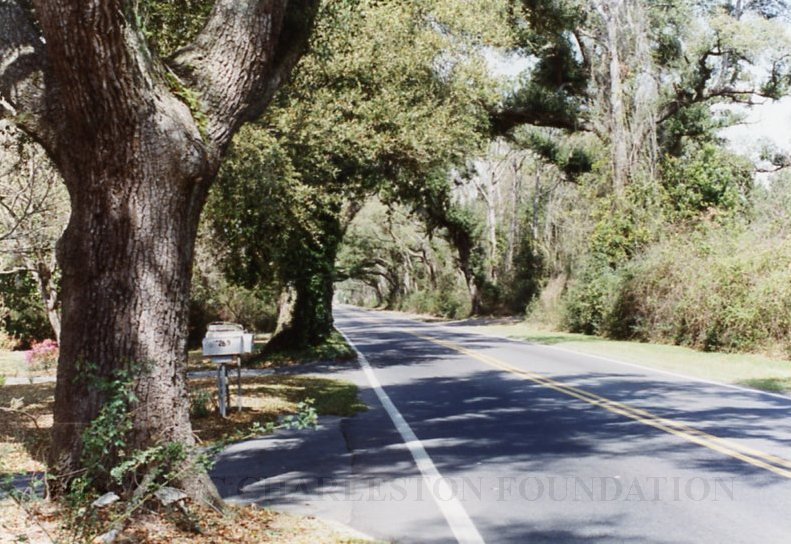
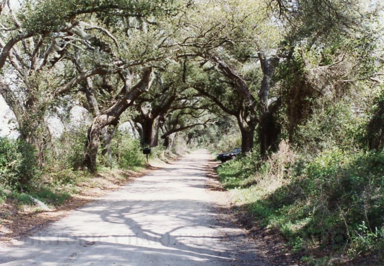
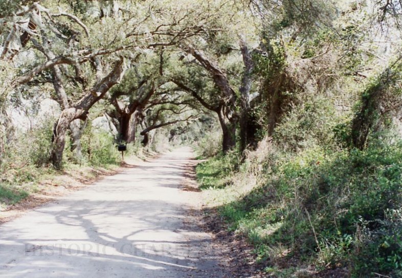
1: Oak canopy, River Road, south of Cane Slash Road
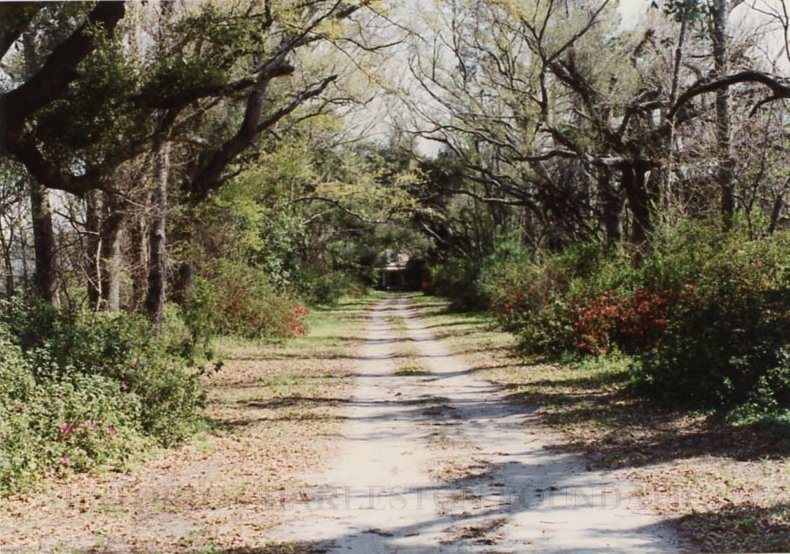
2: 2167 River Road, Anderson house and driveway
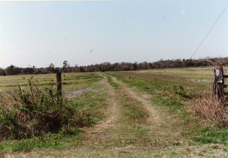
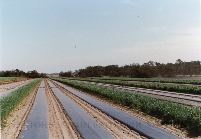
3: Coquina Drive, off River Road
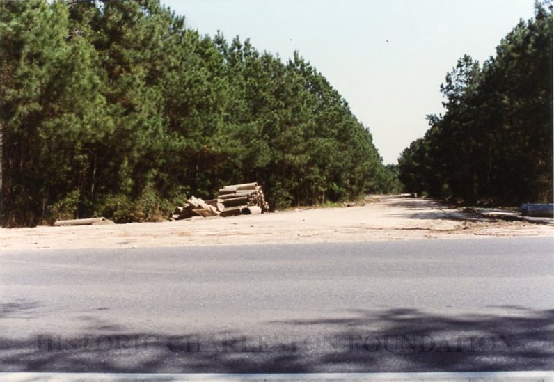
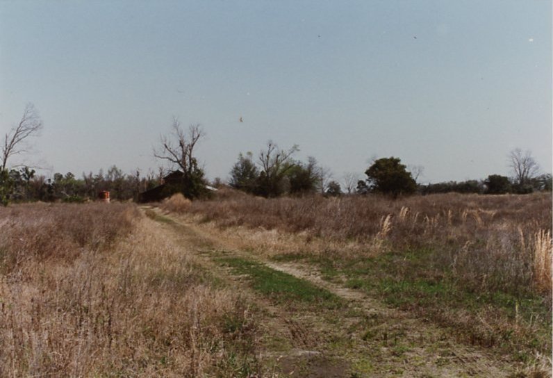
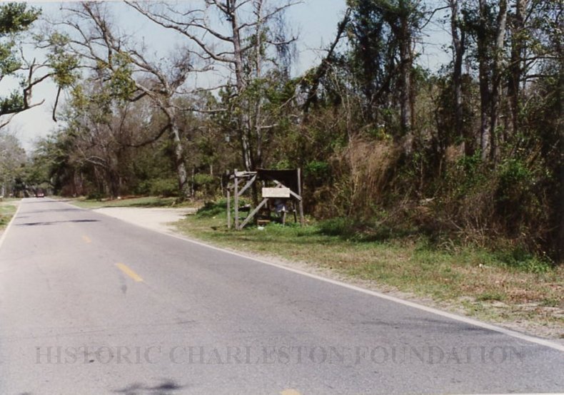
4: Unpaved farm road, west side of River Road (south of #3 above)
5: Agricultural landscape, east side of River Road (opposite #4 above)
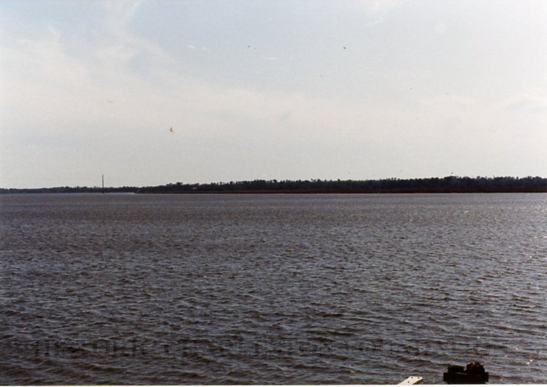
6: Marsh view and fisherman, Exchange Landing, looking south along Stono River
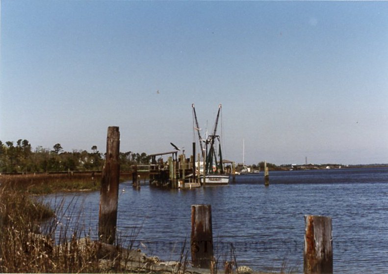
7: View of river and shrimpboat, Exchange Landing, looking north along Stono River
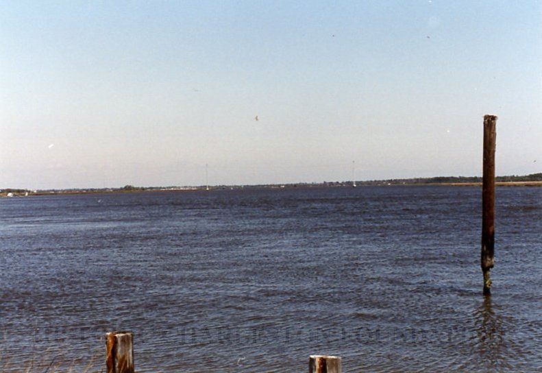
8: Exchange Landing, looking north along Stono River toward Stono Bridge
9: House, 2804 Exchange Landing Road, "Land's End"
10-11: Exchange Landing Road, about midway, looking east toward landing
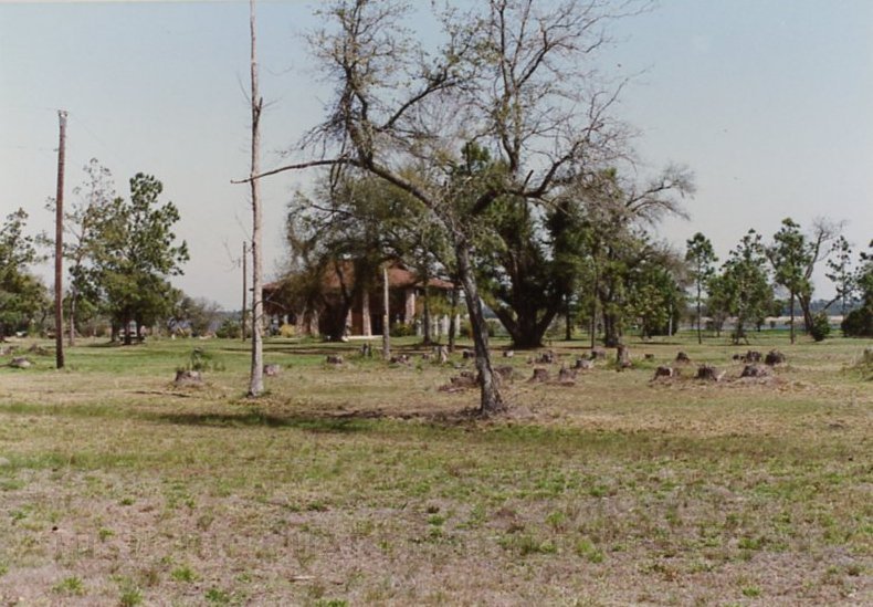
12: Early 20th century house among the palmetto trees and unpaved driveway, 2425 River Road, just south of Plow Ground Road
13: "Lowcountry Basket for Sale" (stand) across from 2886 River Road
14: Farm fields, Jenkins & Legare Farm, River Road
15: Three J's Vegetable Market (vegetable stand), south side of River Road (west of #14 above)
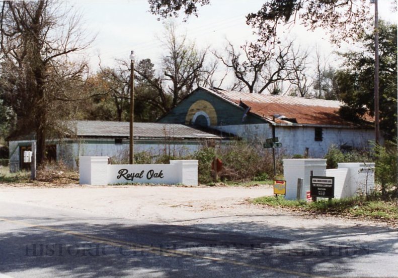
16: Entrance to the Royal Oak subdivision with a deteriorating former nightclub in background, Royal Oak Drive, at River Road
17: River Road between Abbapoola Road and Bryans Dairy Road, enormous TV tower in background
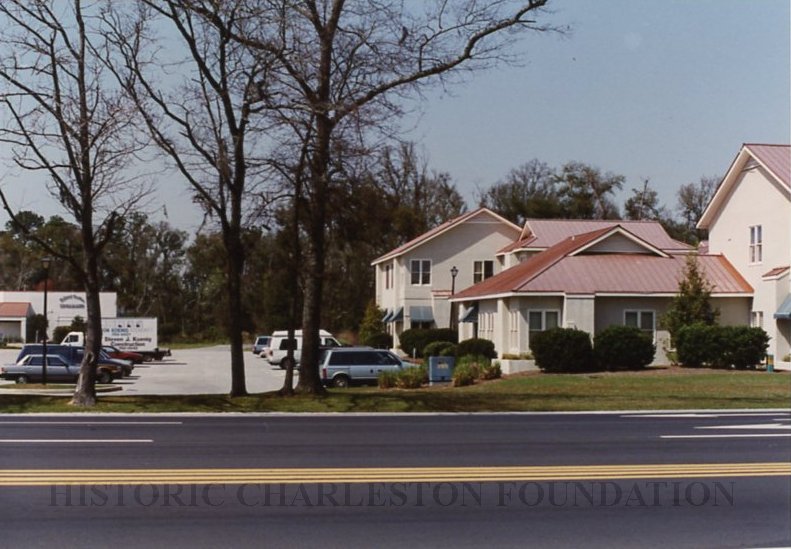
18: Island Center (shopping center) and nearby new stuccoed buildings, Bohicket Road at River Road
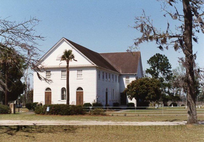
19: Johns Island Presbyterian Church, Bohicket Road
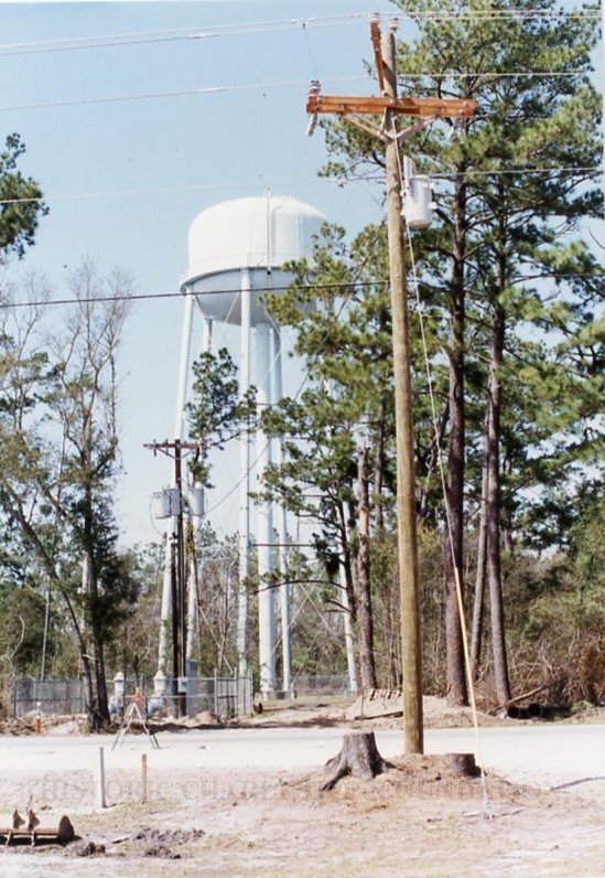
20: Power pole and water tower, Bohicket Road, opposite Bethlehem United Methodist Church
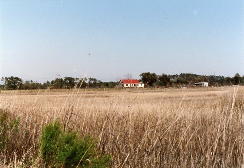
21: View of farmhouse across a field, Rush Landing Road, off River Road, north of Fenwick Hall
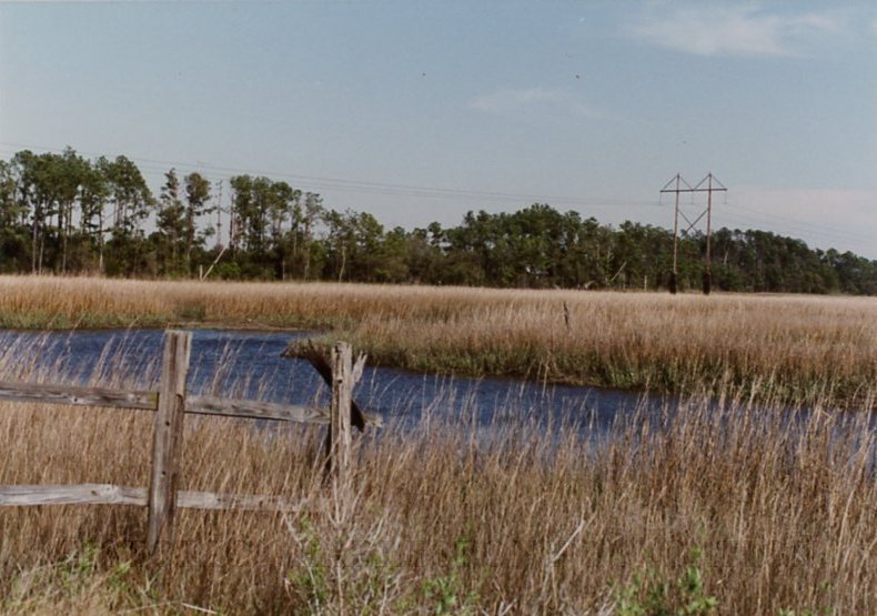
22: Bush Landing Road, looking east across marsh
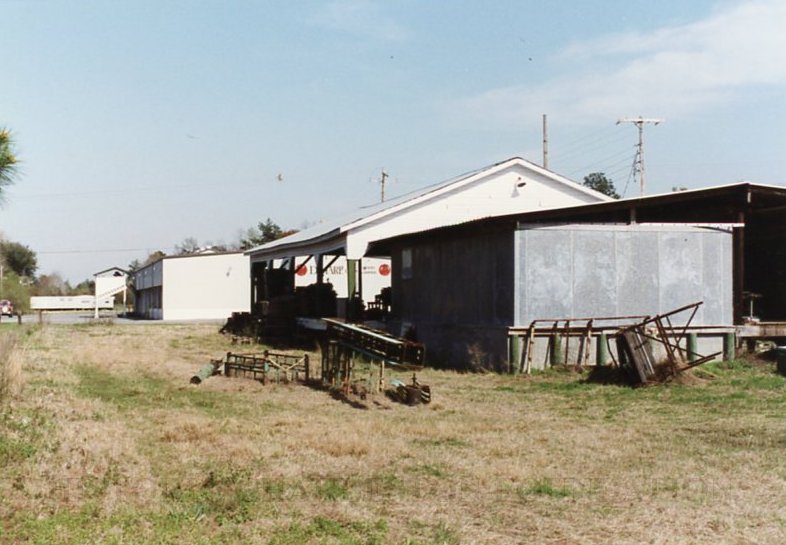
23: Packing shed operation, Junction of Belvedere Road and Main Road, looking east from Belvedere Road
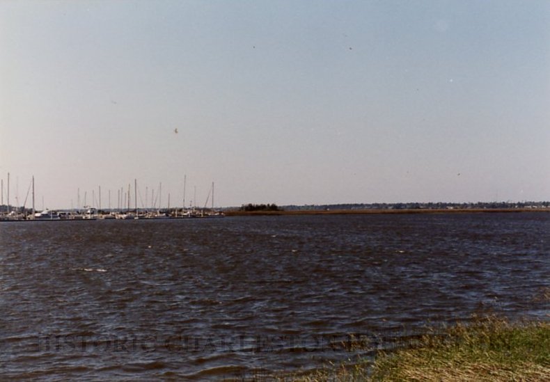
24: Maybank Highway at Stono River Bridge, view across Stono River to Bohicket Marina
25: View of Stono River, Maybank Highway at Stono River Bridge, facing opposite direction from Stono River Bridge
Photographs taken, described, and assessed by Sarah Fick (Preservation Consultants) and Louis Nelson (Historic Charleston Foundation) on March 13, 1992, as part of the Vernacular Landscape Project initiated by the City of Charleston. Fick and Nelson documented their "likes" and/or "dislikes" of each photo and mapped each site. Copy (pdf) of accompanying letter, survey, and map attached to record.